Madrid green belt hiking opens up over 100 kilometers of marked trails through the Anillo Verde Ciclista (Green Belt Cycling Ring) circling the city, the connecting natural parks of the Cuenca Alta del Manzanares Regional Park, the Sierra de Guadarrama National Park (created 2013), and the Mediterranean oak forests of Monte de El Pardo and Casa de Campo. Madrid green belt hiking provides escape from the urban core within 30-60 minutes by metro and cercanías commuter train, with trails ranging from gentle riverside walks to challenging Sierra mountain ascents over 2,000 meters elevation. This Madrid green belt hiking guide covers the Anillo Verde 64-km circular route, the best day hikes accessible by public transport, the Sierra de Guadarrama trails, the Manzanares riverside paths, and gear/preparation tips for hiking around Madrid year-round.
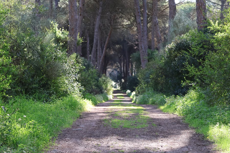
Table of Contents
- Anillo Verde Ciclista (64-km Green Belt)
- Sierra de Guadarrama National Park Hikes
- Cuenca Alta del Manzanares Regional Park
- Madrid Río Riverside Hike
- Best Day Hikes Near Madrid
- Public Transport for Madrid Hiking
- Madrid Hiking Gear and Preparation
- Madrid Green Belt Hiking Tips
- FAQs
Anillo Verde Ciclista (64-km Green Belt)
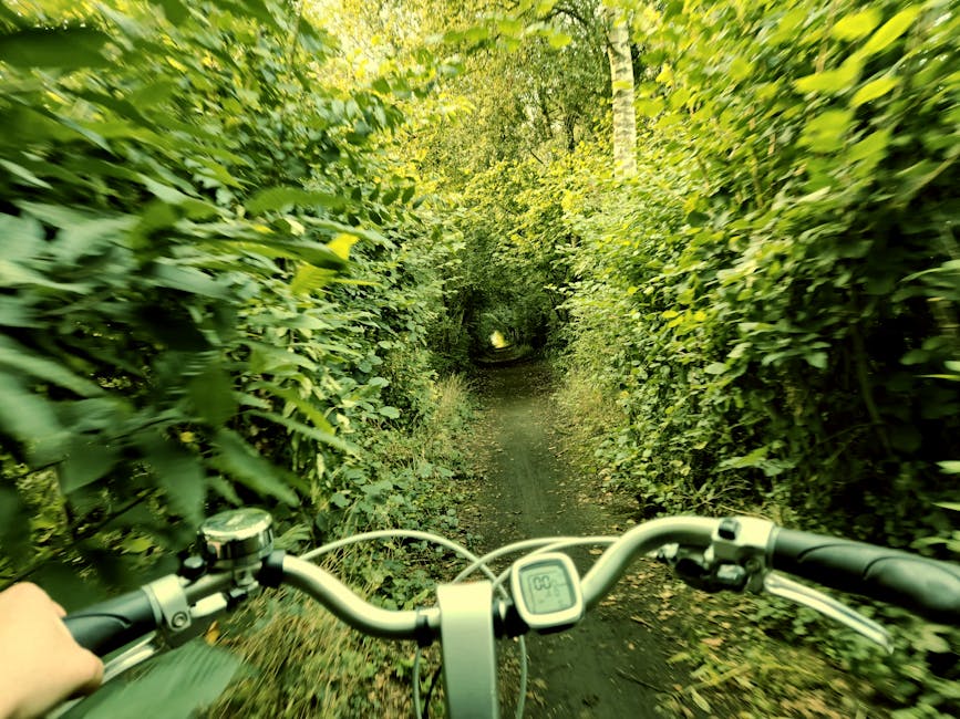
The Anillo Verde Ciclista is Madrid’s defining green belt project — a 64-kilometer continuous circular cycling and hiking path encircling the entire city of Madrid. Completed 2010 by Madrid City Council, the Anillo Verde Ciclista connects existing parks (Casa de Campo, Madrid Río, Tres Cantos, Cantarranas, Juan Carlos I) into a single multi-use route.
- Total length: 64 km circular route around Madrid.
- Surface: Asphalt and packed gravel; suitable for road bikes, hybrid bikes, walking, running.
- Elevation gain: 380 meters total (mostly flat with gentle inclines).
- Time to complete: Cycling 4-6 hours; running 6-9 hours; walking 12-16 hours (multi-day option).
- Connecting parks: Casa de Campo, Madrid Río, Tres Cantos, Juan Carlos I Park, Cantarranas Park, Pinar de Barajas.
- Multiple metro stations along route for partial day walks/rides.
- Free; open 24/7.
- Best entry points: Casa de Campo (metro Lago), Madrid Río (metro Príncipe Pío), Juan Carlos I (metro Feria de Madrid).
Sierra de Guadarrama National Park Hikes
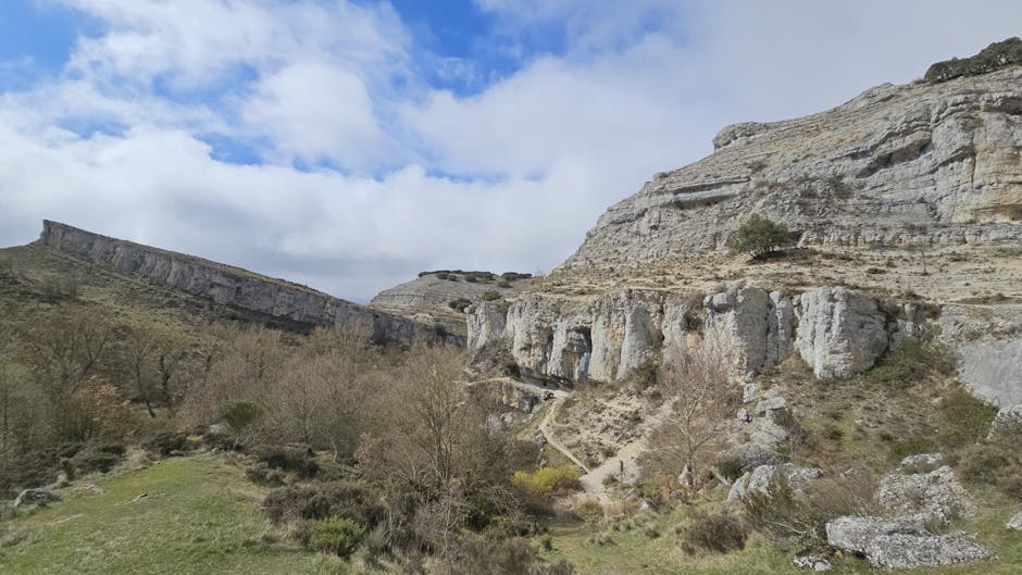
The Sierra de Guadarrama National Park (33,960 hectares) was inscribed Spain’s 14th national park in June 2013. The Sierra de Guadarrama mountains rise 50 km north of central Madrid, providing the most challenging Madrid green belt hiking with peaks reaching 2,428 meters (Peñalara, the highest peak in the Sierra). Best Madrid green belt hiking routes in Sierra de Guadarrama:
- Pico de Peñalara (2,428m): Sierra’s highest peak; 12-km round trip from Puerto de Cotos; 3-4 hours; moderate-challenging.
- Siete Picos Ridge (Seven Peaks): Classic ridge walk; 18 km round trip; full day; spectacular views.
- La Pedriza: Granite formations near Manzanares El Real; rock climbing destination; multiple hike options.
- Camino Schmidt (Cercedilla): Alpine-style trail through pine forest; 5 km easy.
- Puerto de Navacerrada area: Multiple trails accessible by Cercanías C-9 line.
- Bola del Mundo (2,265m): Iconic radio antenna peak; moderate ascent.
- Access: Cercanías C-9 line to Cercedilla (45 min from central Madrid); car easier for some trailheads.
- Best season: May-June and September-October; winter snow possible above 1,800m.
Cuenca Alta del Manzanares Regional Park
The Cuenca Alta del Manzanares Regional Park (52,800 hectares) protects the upper basin of the Manzanares River — Madrid green belt hiking with diverse landscapes from granite peaks to Mediterranean oak forests. The park combines La Pedriza granite massif (ideal for rock climbing and shorter hikes), Manzanares El Real medieval village with Castillo de Manzanares castle, the Santillana reservoir, and El Pardo Mediterranean dehesa.
- La Pedriza (Manzanares El Real): Granite formations; 5,000+ climbing routes; multiple easy-moderate hiking loops.
- Santillana Reservoir loop: 6-km circular walk; flat; family-friendly.
- Yelmo Peak (1,717m, La Pedriza): 8-km round trip from Manzanares El Real visitor center; moderate; iconic granite dome views.
- Castillo de Manzanares El Real: 15th-century castle (€5 entry); combine with hike.
- Access: Bus 724 from Plaza Castilla Madrid (1 hour); car alternative.
Madrid Río Riverside Hike
Madrid Río is the city’s 10-km linear park along the Manzanares River — created 2007-2011 after burying the M-30 ring road underground. Madrid Río connects Casa de Campo with central Madrid, providing a flat urban hiking and cycling experience with playgrounds, gardens, and historic bridges.
- Length: 10 km linear park along Manzanares River.
- Surface: Paved paths suitable for walking, running, cycling.
- Elevation: Flat throughout.
- Time: 2-3 hour walk full length; 1 hour cycling.
- Highlights: Toledo Bridge (1719 baroque stone bridge), Segovia Bridge (1584 historic), Puente de Praga (1952), playgrounds, urban beaches (Madrid Río beaches with sand), restaurants.
- Connections: Joins Casa de Campo, Anillo Verde Ciclista, central Madrid.
- Metro: Príncipe Pío, Marqués de Vadillo, Pirámides multiple access points.
- Free; 24/7.
Best Day Hikes Near Madrid
- Camino de Santiago Madrid section: Camino de Madrid leaves Madrid northbound to Sahagún; weekend stages possible.
- Senda Real (King’s Path): Historic royal route from Madrid to El Escorial; 30 km; full day or split into stages.
- Embalse de Santillana loop: 6 km easy; reservoir views; family-friendly.
- Cercedilla pine forests: Multiple short loops 3-8 km; pine forest; mountain stream; Cercanías access.
- El Pardo Forest trails: Royal hunting forest; multiple short walks.
- Patones de Arriba: Slate village hike; 5 km loop; combined with village visit.
- Hayedo de Montejo (UNESCO Beech Forest): Beech forest; 100 km from Madrid; reservation required (limited daily visitors).
- El Berrueco granite labyrinth: Granite boulders walk; family-friendly.
Public Transport for Madrid Hiking
- Cercanías C-9 line: Cotos / Cercedilla — best access for Sierra de Guadarrama hikes.
- Cercanías C-3 / C-7: Toward southern parks and reservoirs.
- Bus 691 from Moncloa: Toward Sierra de Guadarrama Puerto de Navacerrada.
- Bus 724 from Plaza Castilla: Manzanares El Real / La Pedriza.
- Bus 720 from Plaza Castilla: El Pardo.
- Renfe Avant high-speed regional: Toward Segovia, Ávila with hiking opportunities.
- Buy 5-day Tourist Travel Pass for unlimited Cercanías and metro hiking access.
Madrid Hiking Gear and Preparation
- Footwear: Hiking shoes for trails; sneakers fine for Anillo Verde and Madrid Río paved paths.
- Water: 2L per person minimum for half-day hike; more for summer.
- Sunscreen and hat: Madrid sun intense year-round.
- Layers: Sierra de Guadarrama temperatures 5-10°C lower than central Madrid; bring jacket.
- Maps: Wikiloc app excellent for trail mapping; AllTrails alternative; offline maps essential in Sierra.
- Snacks: Sierra de Guadarrama trails have limited refreshment; bring picnic.
- Trekking poles: Useful for steeper Sierra ascents.
- Phone power bank.
- Emergency: 112 emergency number; 062 mountain rescue if needed.
- Best season: April-June and September-November; avoid August midday heat in lower elevation; winter snow possible above 1,800m.
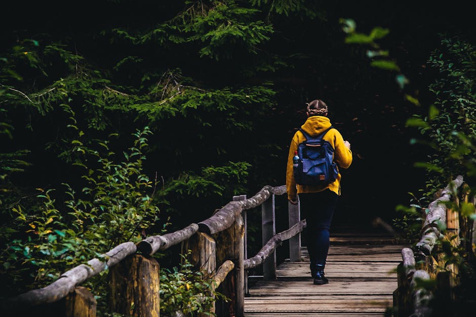
Madrid Green Belt Hiking Tips
- Start with Anillo Verde Ciclista to ease into Madrid trail system; flat and metro-accessible.
- Sierra de Guadarrama for serious hikers — book Renfe Cercanías early summer Saturdays.
- Combine hike with village visit (Manzanares El Real, Cercedilla, Patones de Arriba).
- Madrid Río excellent for evening walks during summer when Sierra too hot.
- Always check weather — Sierra storms unpredictable.
- Inform someone of route plan if hiking solo in Sierra.
- Spanish hiking trails marked with paint blazes — yellow and white for short trails (PR), red and white for long trails (GR).
- Casa de Campo Mediterranean oak forest unique ecosystem worth exploring beyond zoo/amusement park.
- Photographers: golden hour Sierra de Guadarrama best 1 hour before sunset.
- Combine multiple short walks for fitness; tackle Peñalara peak after building base.
FAQs
What is the Anillo Verde Ciclista?
The Anillo Verde Ciclista is Madrid’s 64-km circular green belt cycling and hiking path encircling the entire city. Completed 2010, connecting Casa de Campo, Madrid Río, Tres Cantos, Juan Carlos I Park.
Can I hike Sierra de Guadarrama from Madrid by public transport?
Yes — Cercanías C-9 line from Madrid Atocha runs 45 minutes to Cercedilla / Cotos for major Sierra de Guadarrama hike trailheads including Peñalara peak (2,428m).
How long is Madrid Río linear park?
10 km linear park along Manzanares River. Created 2007-2011 by burying M-30 ring road underground. Connects Casa de Campo with central Madrid; flat paved paths.
What’s the highest peak near Madrid?
Pico de Peñalara at 2,428 meters, in Sierra de Guadarrama National Park. 12-km round trip hike from Puerto de Cotos; 3-4 hours; moderate-challenging.
Is the Anillo Verde good for beginners?
Yes — Anillo Verde Ciclista is mostly flat (380m total elevation gain over 64km) on paved/gravel paths suitable for walking, running, cycling. Multiple metro stations for partial sections.
When is the best season for Madrid hiking?
April-June and September-November optimal. Avoid August midday heat at lower elevation. Winter snow possible above 1,800m in Sierra de Guadarrama. Spring wildflowers spectacular May-June.